On 14 May 2026, a Mongabay short-article carried the line of the year for anyone who has spent the last decade arguing that marine protected areas only work when extraction actually stops inside them. A research team led by Ben Harris at the University of Exeter had sampled the seabed inside the South Arran Marine Protected Area, off Scotland’s west coast, and in unprotected waters immediately outside it. The sediment inside the reserve held three times more seabed organisms and twice as many species than the comparison sites. In one sample of approximately 100 litres of sediment, the team counted more than 1,500 individual animals.
This is the number. The empirical, peer-reviewed, quantified answer to the question that the EU bottom trawling petition walked into Brussels with earlier this month. Does the MPA framework actually work when the trawl gear is taken off the bottom for long enough? In South Arran, the answer is yes, by a factor of three, in less than a decade.
The Site
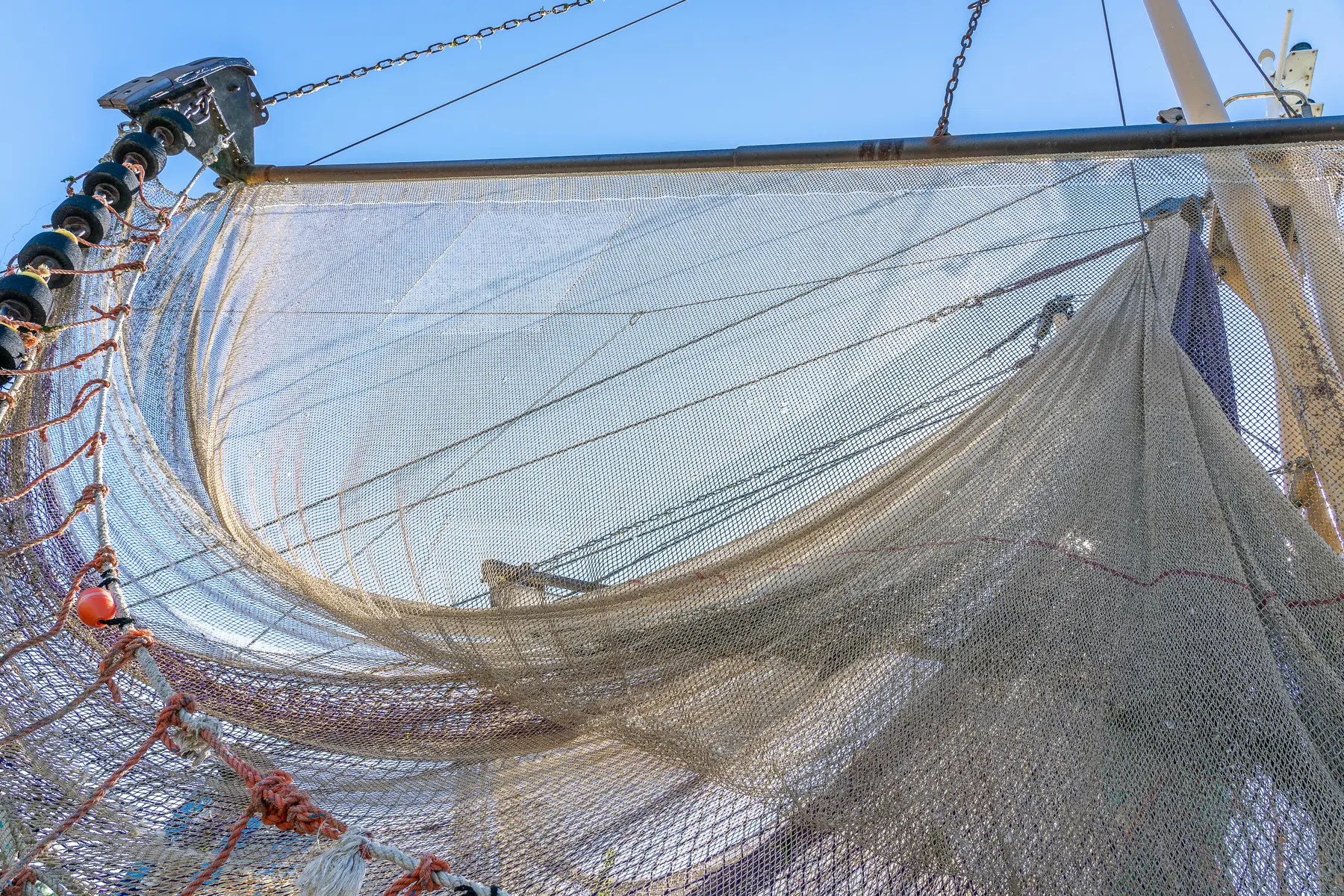
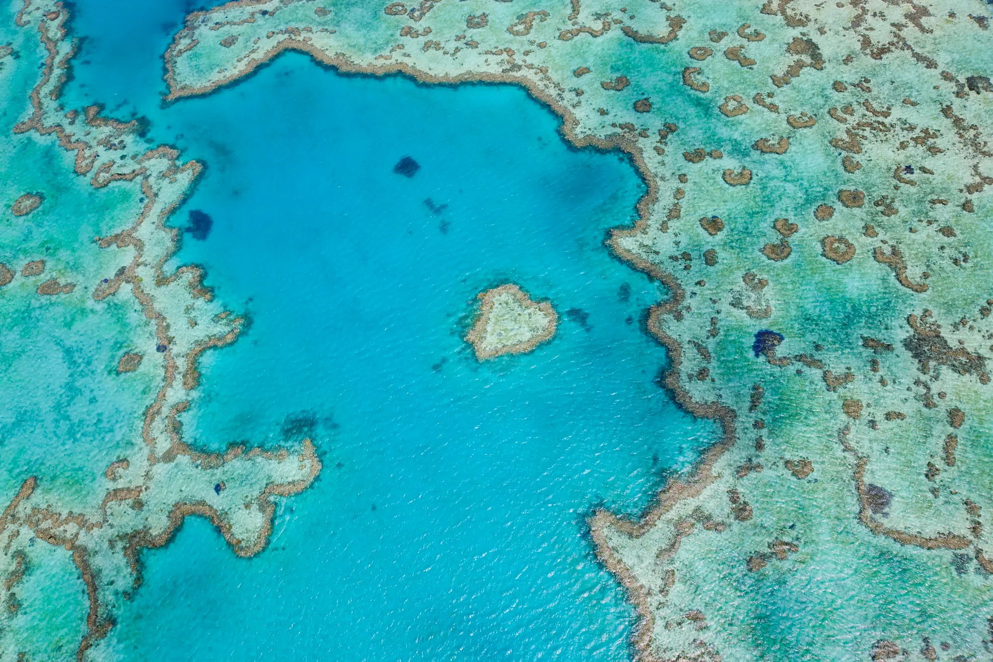
South Arran sits in the Firth of Clyde, off the south coast of the Isle of Arran, covering 280 square kilometres of cold, current-swept Scottish seabed. It was designated as a Nature Conservation MPA in 2014, and bottom trawling and scallop dredging were banned across most of it in 2017. It is one of the few MPAs in Europe where the trawl exclusion has been enforced consistently from the moment the line was drawn on the chart. That detail is what makes the new data load-bearing. Most European MPAs are still, on paper, being trawled. South Arran is what the rest could look like.
The site also has an unusually long-running local conservation operator behind it. The Community of Arran Seabed Trust, known locally as COAST, has been pushing for protection of this stretch of seabed since 1995. They are a small organisation that did exactly the thing that conservation textbooks say will not work, which is to get a community-led no-take and no-trawl designation through the Scottish government and then keep watching the line on the chart.
The Species That Came Back
The Exeter team’s species list reads like a roll call of British seafloor life that had largely disappeared from trawled ground. Spoon worms, the bizarre Echiura that look like discarded organs and that turn over sediment in much the same way earthworms do on land. Bobbit worms, the metre-long ambush predators of the family Eunicidae that lie buried in the substrate. Tower snails. European flat oysters, which once carpeted the inshore Scottish seabed in beds dense enough to be mapped from above and which have been functionally absent from most of the UK coast for a century. Honeycomb worms, building the cementum tube structures that armour-plate sand. Sea pens, the pink, feather-shaped octocorals that grow upward from the mud and that snap clean at the stem when a trawl door passes over them.
The reason these species matter beyond their own existence is that they build the structure that everything else depends on. Spoon worms aerate the sediment. Sea pens give juvenile fish vertical cover in otherwise featureless mud. Honeycomb worms create hard substrate where there was none. Trawling does not just remove individuals from each of these species. It removes the architecture they collectively build, and once the architecture is gone the food web flattens.
Why This Lands Now
The timing matters. Earlier in May 2026, a Dutch court ruled that the Dogger Bank MPA could not be trawled without a permit and a prior environmental impact assessment. That was the first successful national-level court challenge forcing a European government to actively regulate trawling inside a designated MPA, brought by Stichting Doggerland, ARK Rewilding Nederland, ClientEarth and Blue Marine Foundation. The legal mechanism is now precedented. South Arran is the empirical case that, when the same mechanism is applied for long enough, the seabed does what the protected-area framework has always claimed it would do.
The pushback from the trawling industry has historically been that the seabed is already too degraded to recover, that ban or no ban the loss is permanent, and therefore the social cost of the closure is not worth the ecological return. The South Arran data, with its specific multiplier, makes that argument considerably harder to sustain. A tenfold-less expensive enforcement regime than open-ocean policing, applied to a designated boundary that the industry already knows about, produces three times the seabed life inside the line than outside it. The cost-benefit case rewrites itself.
The Pattern, Again
The recovery list is starting to repeat. Cabo Pulmo on Mexico’s Gulf of California climbed 463% in fish biomass over a decade after the local community closed it to fishing. Western Manus in the Bismarck Sea was declared by Papua New Guinea earlier in 2026 as a 214,000 square kilometre no-take reserve. The Verde Island Passage in the Philippines is in active push for ENIPAS-level protection. Each of these is on a different ocean, in a different cultural and political setting, with a different headline species. The recovery pattern is the same.
What changes between them is the architecture of the protection. Community-led, in Cabo Pulmo. National decree, in Western Manus. Court-ordered, in Dogger Bank. Slow-build civic protection, in South Arran. The mechanism is whatever holds in the local political water. The biological result, given enough time, is consistent.
What This Means for the EU Ocean Pact
The European Commission is preparing the final draft of the EU Ocean Pact for release in late 2026. Whether bottom trawling inside MPAs survives in the final document as a permitted activity, a permitted-with-conditions activity, or a prohibited activity is the single largest live question in European marine policy. The Dogger Bank precedent has set the legal floor. The South Arran data has set the biological case. What the Commission writes between now and the end of the year will tell us whether the institutional architecture is going to follow.
The next twelve months will probably decide which version of the European seabed the next generation of divers inherits. The one where the line on the chart was a line on the chart, and the trawl gear kept dragging across it. Or the one where the line on the chart actually meant something, and the recovery already documented in 280 square kilometres of Scottish seabed spread to the rest of it.